Harlem: Mapping Helps Expose Sea Level Rise Threat
Watch how Florida International University’s Geographic Information Systems Center is tracking sea level rise.
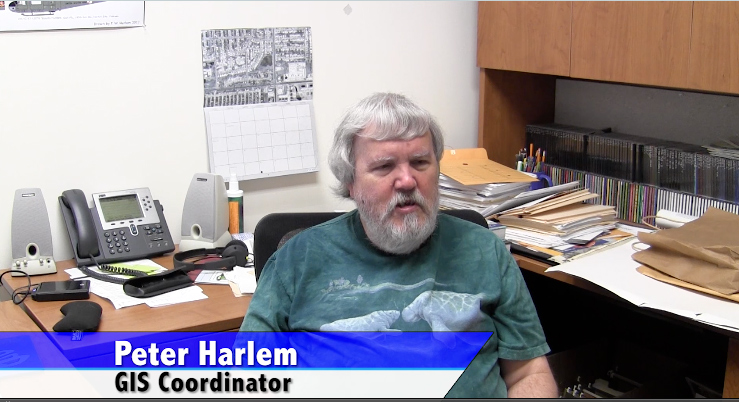
Watch how Florida International University’s Geographic Information Systems Center is tracking sea level rise.
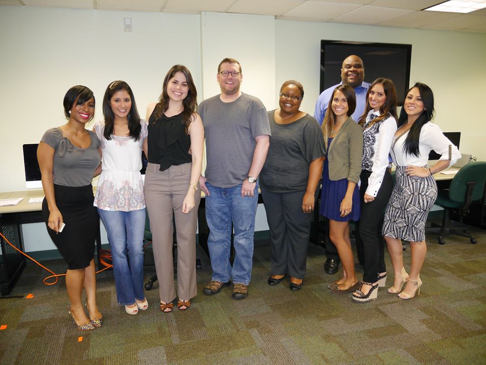
Take a look at the above video that has students in a multimedia capstone course – the final class students take before graduating Florida International University’s School of Journalism and Mass Communication – explaining the intentionality behind work they produced in summer 2014 for eyesontherise.org. In addition to covering issues connected to rising sea levels in South Florida, students:[…]